
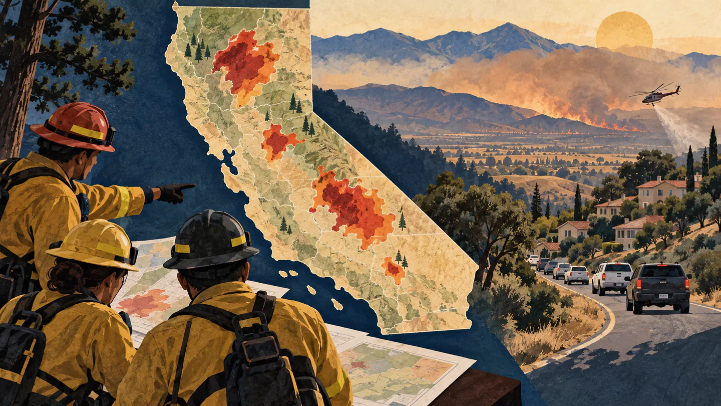
A catastrophic complex of wind-driven wildfires erupted across Northern and Southern California amidst a blistering heatwave that saw regional temperatures soar to an unprecedented 118 degrees Fahrenheit, forcing mandatory emergency evacuations for more than 250,000 residents. The Governor issued statewide emergency declarations as over 14,000 municipal and wildland firefighters battled multiple uncontrollable blazes threatening suburban communities and critical infrastructure.
The largest of the blazes, designated the Sierra Diablo Fire, ignited along parched scrubland in the Central Valley foothills before exploding across more than 160,000 acres within 48 hours, driven by erratic 60-mile-per-hour gusts and single-digit relative humidity levels. Thick plumes of hazardous particulate smoke blanketed major population centers from Sacramento to San Francisco, triggering severe air quality advisories and prompting public health officials to distribute N95 respirators.
Emergency Mass Sheltering and Heroic Evacuation Logistics
County emergency services and the American Red Cross mobilized dozens of temporary evacuation centers, fairgrounds, and high school gymnasiums to provide emergency shelter, water, and medical care for displaced families and thousands of evacuated domestic animals. State highway patrols established contraflow traffic operations on major regional freeways to facilitate orderly evacuations and prevent fatal gridlock.
Aerial firefighting fleets, including converted DC-10 and 747 supertankers, conducted continuous retardant drops along containment perimeters, though extreme thermal updrafts and low visibility repeatedly grounded flight operations during afternoon hours. Utility providers enacted precautionary Public Safety Power Shutoffs to over 400,000 customers to prevent fallen power lines from igniting additional fires in extreme weather conditions.
Climate Whiplash, Forest Management, and Long-Term Recovery
Climate scientists noted that the devastating fire season follows a recurring pattern of severe climate whiplash, where heavy winter rains generated dense undergrowth that subsequently dried into explosive kindling during consecutive weeks of extreme summer heatwaves. Environmental forestry experts reiterated urgent calls for expanded controlled burns, mechanical brush thinning, and modernized building codes for structures situated in the wildland-urban interface.
Federal disaster agencies arrived on the ground to coordinate initial recovery assistance and emergency infrastructure repairs. As firefighters continue grueling work along rugged mountain ridgelines, state and federal leaders pledged comprehensive reconstruction support for impacted communities while emphasizing that adapting to intensifying wildfire threats remains California's paramount ecological challenge.
Editorial Fact Check & Key Findings
Key points
- California had several separate July incidents.
- Evacuation information was local and incident-specific.
- The 250,000 and 118°F claims were not supported by cited official records.
What the evidence shows
California faced multiple significant wildfires in July, including fast-moving incidents in Los Angeles and Northern California. Official incident pages documented local evacuation orders and warnings, not a single order covering 250,000 people.
Background and limits
Wildfire totals change quickly. Acreage, containment, evacuation zones and temperatures should be tied to a named fire, issuing agency and timestamp.
Why this matters
Overstating evacuation numbers can create confusion during an emergency. The most useful information directs readers to county alerts and CAL FIRE’s live incident map.